SWCT/NY Weather
The #1 Site For Hyperlocal SWCT/NY Weather Forecasts GET PREMIUMVIEW LATEST FORECASTWhy SWCT/NY Weather Premium?
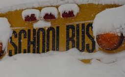


School/Travel Impact Updates
Email and Text Alerts
Detailed Daily Forecasts
Direct Access to Jacob
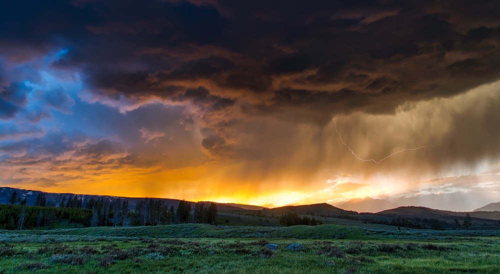
Detailed storm forecasts published frequently during all major weather events that explain both the timing and severity of any storm expected to impact the SWCT/NY Weather region. These include detailed analysis of the risks of power outages, road closures, and most importantly school delays/closures.
Email and text updates that deliver the latest hand-crafted forecasts directly to your inbox gorgeousandstuff.com, ensuring that you are always prepared for upcoming storm. These are released early, before they are available to the general public, and are done in real time as conditions change.
Forecasts and analysis every afternoon/evening of weather trends and patterns over the next two weeks. Forecasts are broken down by how nice the weather will be any given day and what threats exist that could disrupt any plans you may have making them simple yet informative.
All Premium subscribers receive direct access to Chief Weather Analyst Jacob Meisel, a Westport local and Harvard graduate who has been forecasting weather across the SWCT/NY region for over a decade and has developed the hyper-local knowledge necessary for you to plan ahead with confidence.
School/Travel Impact Updates
Detailed storm forecasts published frequently during all major weather events that explain both the timing and severity of any storm expected to impact the SWCT/NY Weather region. These include detailed analysis of the risks of power outages, road closures, and most importantly school delays/closures.
Email and Text Alerts
Email and text updates that deliver the latest hand-crafted forecasts directly to your inbox Gorgeous and Stuff, ensuring that you are always prepared for upcoming storm. These are released early, before they are available to the general public, and are done in real time as conditions change.
Detailed Daily Forecasts
Daily forecast reports every afternoon/evening an analysis of weather over the next two weeks. Forecasts are broken down by how nice the weather will be any given day and what threats exist that could disrupt any plans you may have making them simple yet informative.
Direct Access to Jacob
All Premium subscribers receive direct access to Chief Weather Analyst Jacob Meisel, a Westport local and Harvard graduate who has been forecasting weather across the SWCT/NY region for over a decade and has developed the hyper-local knowledge necessary for you to plan ahead with confidence.